Entry040
A wild park at the city’s edge
A field notebook on limestone inlets, island reaches and a national park joining land, sea and the edge of Marseille.
- Place
- Parc national des Calanques
- Arrondissement
- 8th and 9th
- From the Quai des Belges
- the city edge, about 10 km south
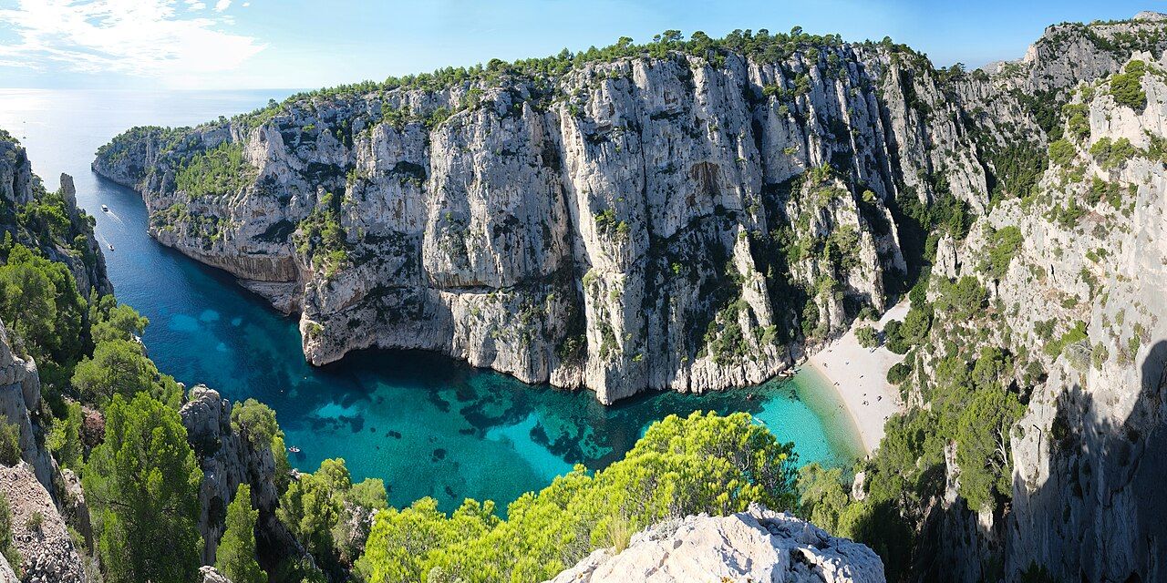 Photograph: kallerna — CC-BY-SA-4.0
“A calanque is a narrow, steep-sided inlet cut into limestone and later drowned by the sea.”
1. A park beside the city
The Calanques National Park was created on 18 April 2012. It was the tenth national park created in France, and the first in Europe to cover land, sea and the edge of a large city at once. That combination is the point to hold on to. The park sits beside urban life, with the city part of its setting rather than a place to leave behind before the landscape begins. The park reaches the edge of Marseille.
The park spreads across the communes of Marseille, Cassis and La Ciotat. Its scale is easier to take in as a meeting of different elements than as a single stretch of coast: limestone, water and a city at the gate. The details change from cliffs to sea floor, but they belong to one protected area.
2. Limestone, then water
The word calanque describes a particular shape: a narrow inlet, steep-sided, cut into limestone and later filled by the sea. The form carries its history in its outline. Land has been cut, then the sea has entered. A calanque can be understood through the narrowest and deepest of the inlets, a compact phrase that conveys how enclosed these coastal cuts can be.
The massif runs for about 20 kilometres between Callelongue and Cassis. That is a long limestone edge, but the national park is wider in scope than the massif alone. The core covers about 8,500 hectares of land and about 43,500 hectares of sea. The sea area is the larger part. It changes the way the park reads: rather than a row of inlets, it is a place whose protected ground continues below the water.
3. Land and sea together
The park’s defining fact is also its oddest arrangement: land, sea and the edge of a large city held together.
The park’s defining fact is also its oddest arrangement: land, sea and the edge of a large city held together.
On land, the cliffs are nesting places for Bonelli’s eagles. On the coastal rocks, Marseille milk-vetch grows in spiny cushions. Under the water, meadows of Posidonia seagrass cover parts of the sea floor. These are different kinds of presence, each tied to a different part of the park. The contrast makes the whole easier to picture: cliff, rock and submerged meadow, within one protected landscape.
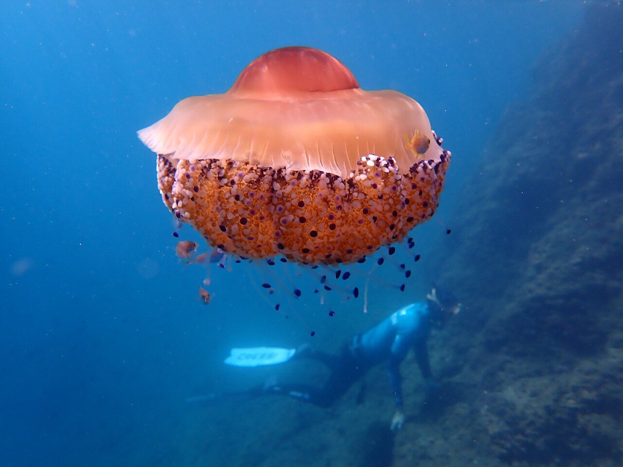 Photograph: Karim saari — CC-BY-4.0
I like that the facts do not ask for one grand view to stand in for the whole place. The park has a high point, coastal plants and underwater meadows. Each gives a different measure of it.
4. A high point in the massif
Mont Puget, about 563 metres high, is the highest point of the calanques massif. It gives the landward side its own scale. Against the long coast, the height is a reminder that the massif has more dimension than a narrow strip beside the sea. It rises as well as falls towards the inlets.
The figures are useful, but they do not flatten the terrain into a diagram. Twenty kilometres of massif, a highest point at Mont Puget, and a core with more sea than land: together they describe a place of strong changes in shape. I would keep the height in mind as a measure, not as a reason to imagine the whole park from above.
5. Islands within the park
The Frioul and Riou islands are part of the park. Their inclusion extends the park’s account beyond the mainland coast. It also reinforces the basic idea of a land-and-sea park: the boundary reaches beyond the shore, and the islands belong in the same picture as the massif and the coastal inlets.
The islands are one part of a wider arrangement, alongside Marseille, Cassis and La Ciotat. The park is defined by those connections as much as by any single feature. A pocket with a few sweets is a small, practical counterweight to all that scale; it changes nothing about the landscape, but it is a familiar detail to carry through a day of looking.
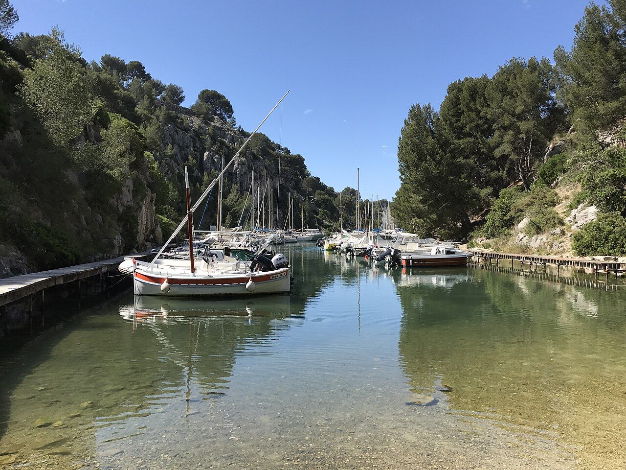 Photograph: Benoît Prieur — CC0-1.0
6. The city at the gate
It was the first national park in Europe to bring land, sea and the edge of a large city together in one protected area. Marseille is not simply nearby in this account; the park runs to the edge of the city. That proximity makes the word “wild” a description of what can exist alongside a large urban place, not a claim about remoteness.
There is a useful tension here. The park is wide in area, with more than one kind of landscape, yet it begins beside a city. The fact asks for both scales to be kept in view: the local edge and the wider protected territory. Neither cancels out the other.
7. A connected landscape
Read the facts together and the park comes into focus as a connected landscape rather than a collection of separate sights. Limestone forms the inlets and massif. The sea fills the cuts and holds Posidonia meadows. Cliffs give Bonelli’s eagles places to nest, while coastal rocks carry Marseille milk-vetch. The Frioul and Riou islands are included too. Each detail has its place in the same setting.
The strongest impression is the joining-up: a national park with land and sea, across three communes, at the edge of Marseille and extending towards La Ciotat. The figures set its dimensions; the natural details give those dimensions texture. It is a large idea held in specific forms of rock, plant and water.
8. The figures in brief
| Feature | Detail |
|---|---|
| Core area | About 8,500 hectares of land and about 43,500 hectares of sea |
| Massif | About 20 kilometres, between Callelongue and Cassis |
| Highest point | Mont Puget, about 563 metres |
| Communes | Marseille, Cassis and La Ciotat |