Entry029
The Corniche Kennedy, by bus and on foot
A long look at the coast road from the Catalans to the Prado: built out over rocks, crossed by bus 83, and held above the sea by a continuous bench-wall.
- Place
- Corniche Kennedy
- Arrondissement
- 7th
- From the Quai des Belges
- bus 83, 5 to 20 minutes
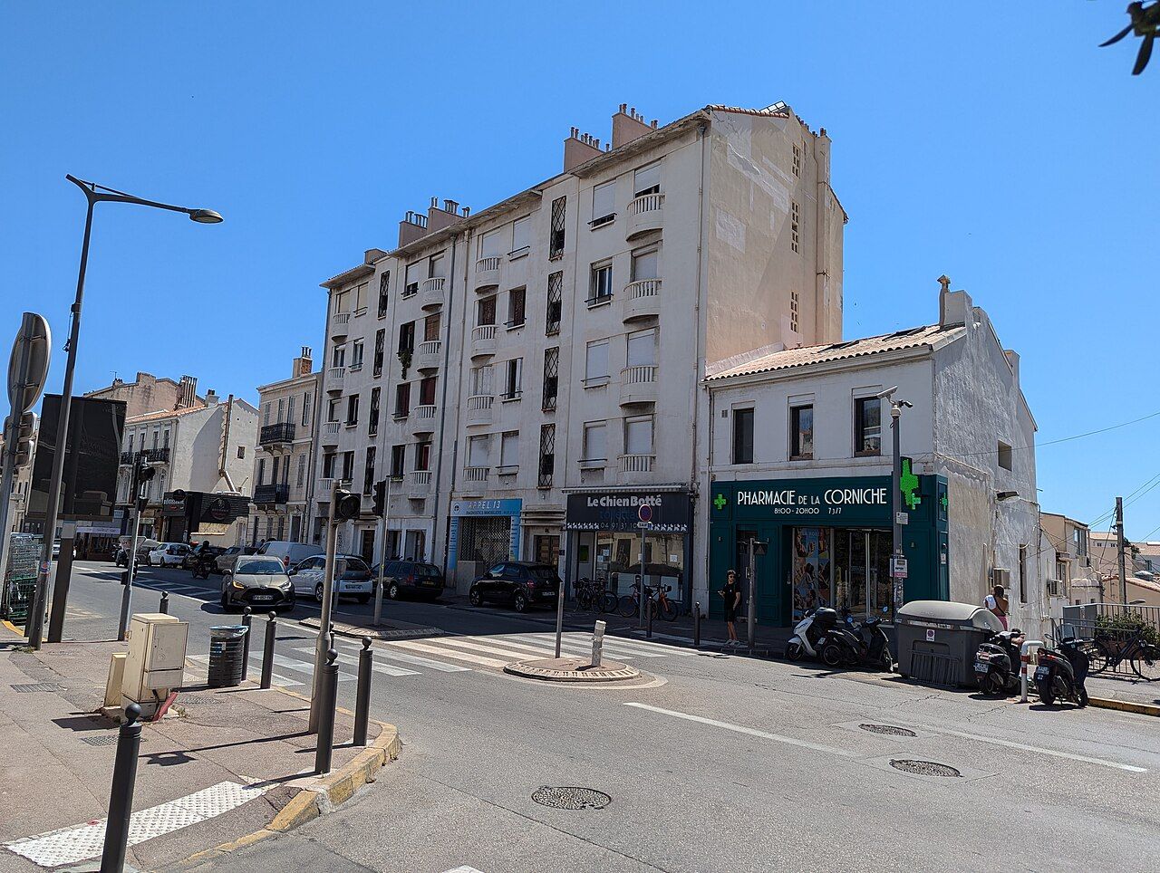 Photograph: Андрей Романенко — CC-BY-SA-4.0
1. How long can a road feel like a balcony?
The Corniche Président-John-Fitzgerald-Kennedy runs along the sea for about five kilometres south of the Vieux-Port. It begins near the Plage des Catalans and ends near the Prado beaches. On a map, that is a length of coast road. On foot, the sea keeps appearing beside it, sometimes wide open, sometimes framed by the low wall at the edge. The road feels less like a line between two points than a long balcony above the water.
Bus line 83 runs from the Vieux-Port along the whole length of the Corniche. It gives the route a simple second reading: the same coast seen from a moving seat, with stretches that can be taken in on foot. I like the change between the two. The bus gives the road its full sweep; walking lets the wall and the views become the measure.
2. A road shaped by the coast
The coast road was built between 1848 and 1863. It was renamed after President John F. Kennedy in 1963, then widened in the 1960s, partly on structures built out over the rocks. Those details are easy to hold in mind while following its edge. The road is not simply beside the coast; parts of it extend over the rocks, and its line gives the shore a long, human-made boundary.
That boundary is also a place to pause. The low seaward wall is built as a continuous bench, around three kilometres long. The low seaward wall is a continuous bench that keeps company with the road for around three kilometres.
The low seaward wall is a continuous bench that keeps company with the road for around three kilometres.
It is a useful feature to notice because it makes the walk feel joined up. The wall runs beside the sea for much of the route, with the view opening beyond it.
3. The islands stay in view
The Frioul islands and the Château d’If are in view from most of the Corniche. Their presence gives the sea a far edge. Looking out, then back along the road, the eye moves between the islands and the built line of the coast. The view is not a single framed prospect; it accompanies the route, appearing again and again as the Corniche bends along the water.
Late afternoon light falls straight down the Corniche from the west, over the islands. That is one of the few details that changes the way I imagine the walk: the road aligned with the light, the islands held beyond it. The rest is more steady. Wall, road, sea, and the distant shapes offshore.
4. Above the Vallon des Auffes
The Corniche crosses the mouth of the Vallon des Auffes on a viaduct. The shift is brief in the larger route, but it changes the scale of the view: the road passes above the mouth rather than simply tracing the water’s edge. Below it is a fishermen's cove under the road. From the Corniche, the viaduct makes the coast’s folds legible: an opening in the shore, crossed by the road, with the sea continuing on either side.
This is one place where the balcony idea becomes especially clear. The road is above the cove, and the view down gives the route a little depth. Then the Corniche carries on, still beside the sea.
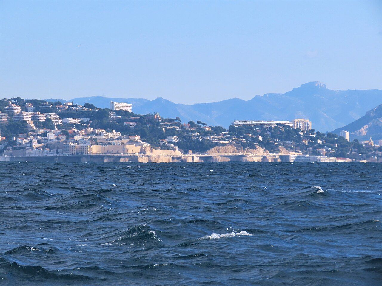 Photograph: Rémih — CC-BY-SA-4.0
5. The slopes above the road
Villas built in the 19th and early 20th centuries stand on the slopes above the Corniche. They belong to a different level of the walk: the road and water below, the houses set back above. Their presence gives the coast a settled edge without taking over the view. I find it useful to look both ways here, rather than keeping my attention only on the sea.
The Corniche is a route with a broad outlook, but it also has these close details along its upper side. The villas mark the slope; the bench-wall marks the seaward edge. Between them, the road holds the long line.
6. A beach below the Corniche
Roughly halfway along, the Plage du Prophète lies below the road. It is a small sandy beach, a change in the coastline’s height and texture. From the Corniche, the beach sits beneath the route rather than replacing it. The road continues its passage between the slopes and the sea, while the sand gives this part of the coast a more open foreground.
The Plage des Catalans is near the beginning of the Corniche, and the Prado beaches are near its end. Between those two ends, the Plage du Prophète is the named pause in the long seaward line. It helps make the route easier to picture: not an uninterrupted wall, but a road with coves, beach and viaduct along its length.
7. By bus, then on foot
Bus line 83 follows the whole Corniche from the Vieux-Port. For a first reading of the route, that is the plainest way to understand its length: the road runs south from the port, past the Catalans, across the Vallon des Auffes and on towards the Prado beaches. On foot, the same facts become smaller and more distinct. The bench-wall is no longer just a line on a map; the viaduct has a crossing, and the islands return in the view.
I would let the bus carry the long distance and give the walk to the stretch that holds attention. The Corniche works in either scale: a continuous coastal road, or a sequence of separate views.
8. The long edge
The combination I remember is a road built along the coast and a low wall made for sitting beside it. The viaduct at the Vallon des Auffes and the views towards Frioul and the Château d’If keep changing the frame, while the route itself remains clear: from near the Plage des Catalans towards the Prado beaches.
| Route | About five kilometres south of the Vieux-Port, from near the Plage des Catalans to near the Prado beaches. |
|---|---|
| By bus | Bus line 83 runs from the Vieux-Port along the whole Corniche. |
| Along the sea | A continuous bench-wall runs for around three kilometres. |
I prefer this coast as a long walk with the islands kept in view.