Entry002
Fort Saint-Jean at the harbour mouth
A day at the harbour mouth, following Fort Saint-Jean from its medieval commandery through royal expansion and wartime damage to its museum terraces.
- Place
- Fort Saint-Jean
- Arrondissement
- 2nd
- From the Quai des Belges
- 10 minutes on foot
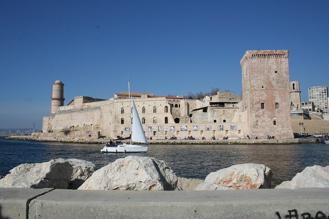 Photograph: Robert Valette — CC-BY-SA-3.0
At the harbour mouth
What does a fort keep when its purpose changes? In the morning, I begin on the north side of the Vieux-Port entrance, with Fort Saint-Jean set at the edge of the harbour. The walk from the port takes 10 minutes on foot. I have a pocketful of sweets; a small, familiar thing to carry while following a place through its layers.
A name from the Middle Ages
The name points back to the Knights Hospitaller of Saint John, who held a commandery on this site in the Middle Ages. The fort is not a single moment preserved in stone. Its story starts with that order, then moves through towers and later changes in authority. I like beginning here, with the name, before trying to read the buildings as a whole.
The square tower
Under René of Anjou, Count of Provence, the square Tour du Roi René took shape during the 15th century. Its shape gives the eye a clear point to return to while moving around the fort. The name carries its own layer: a count of Provence, a tower built under him, and a structure that belongs to the site’s earlier history. I take this part slowly; the square outline is easier to hold in mind than a long list of dates.
A lantern for ships
The round Tour du Fanal came later, added in the 17th century as a lantern tower to guide ships into the harbour. Square beside round; a tower for one period, then another for a different task. By the time I reach it, the harbour entrance seems less like a gap in the city than a place with its own working history. The fort stands beside that route, not apart from it.
Royal expansion
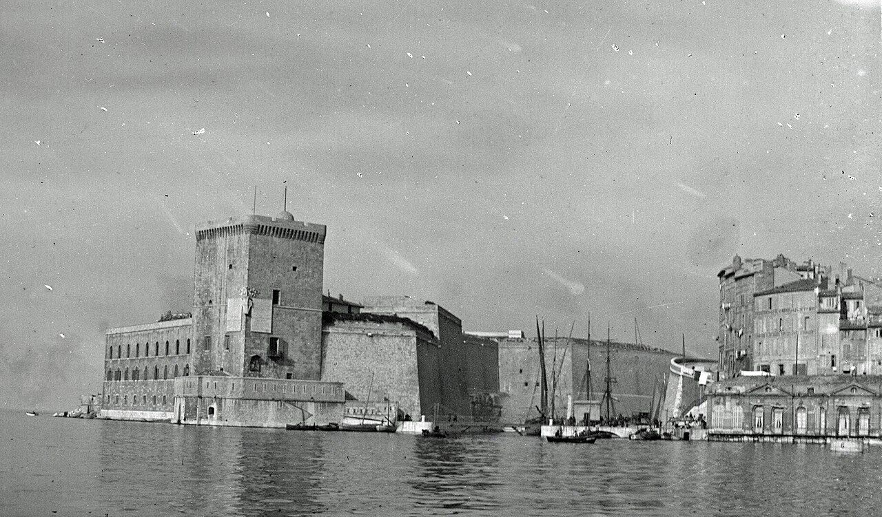
In the 1660s, Louis XIV had Fort Saint-Jean enlarged after Marseille had resisted royal authority. That sequence makes the enlargement feel pointed, even without turning the visit into a lesson in royal power. The fort’s outline gathers several purposes and histories in one place: a commandery, towers, and an expansion ordered by a king. I keep the facts in that order as the afternoon goes on.
Damage and connection
In 1944, an explosion of munitions stored by the German army badly damaged Fort Saint-Jean. The damage belongs to the fort’s history as surely as the towers do. Since 2013, it has been part of the MuCEM, joined to the museum’s main building by a slender footbridge over the water. Crossing that bridge makes the present arrangement plain: the old fort and the museum's lace-concrete cube are connected across the harbour edge.
Up to the terraces
A second footbridge links the upper fort to the esplanade of the Saint-Laurent church in Le Panier. I follow the route up to the upper terraces, where a garden of Mediterranean plants is open to walkers. The day has moved from the harbour entrance and its layers of authority to a place to walk above the water. The fort feels most legible from here: not as one story, but several held together by the paths between them.
 Photograph: Peter Elfelt — CC-BY-SA-4.0
| Approach | 10 minutes on foot from the port |
|---|---|
| Position | North side of the Vieux-Port entrance |