Entry037
Ratonneau and Pomègues, the Frioul islands
Bare limestone, a harbour village and an old quarantine wall make a dry, wind-scoured island day just offshore from Marseille.
- Place
- Îles du Frioul
- Arrondissement
- 7th
- From the Quai des Belges
- boat, about 30 minutes
 Photograph: Anfrx — CC-BY-SA-4.0
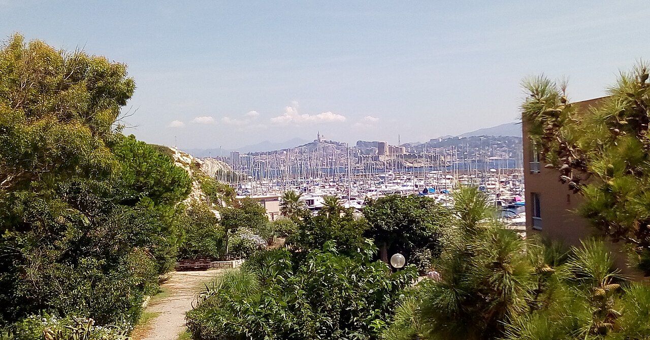
“Bare white limestone with little shade.”
1. A short crossing, then a different ground
The Frioul archipelago lies in the bay of Marseille, a few kilometres west of the Vieux-Port. The boat makes the islands feel close to the city, but the ground changes quickly: white limestone, open slopes and little shade. A dry, wind-scoured day suits the place. The built city is left behind across the water.
The two large islands are Ratonneau and Pomègues. They are near enough to read as a pair, but each has its own heights, coves and old fortifications. I like the simple scale of the day: a boat crossing, then a walk among pale rock and sea views.
2. The line between them
The sea wall between Ratonneau and Pomègues is the Digue de Berry. It was built in the 1820s to make a sheltered quarantine harbour. That purpose gives the wall a plain logic. It joins the islands and explains how a harbour could sit in this exposed setting. The sea wall is the hinge of the islands, practical in origin and still the clearest line between their two sides.
Walking the connection makes the pair easier to understand. The wall is more than a convenient way across; it belongs to the harbour’s history. The islands meet here, with open water on either side. In a landscape with little shade, the Digue de Berry is a useful point of reference.
The sea wall is the hinge of the islands, practical in origin and still the clearest line between their two sides.
3. Port Frioul
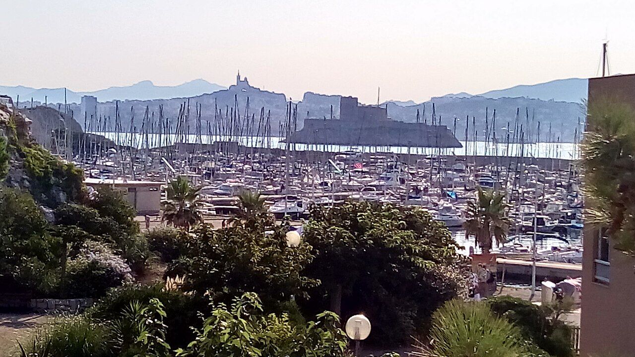
Port Frioul, a harbour village with moorings and flats, was built on the Digue de Berry in the 1970s. It sits between the two larger islands, a settled strip amid limestone and water. The harbour gives the crossing a clear arrival point, while the islands beyond it remain spare and open.
It is worth pausing here before heading on. The village sits on the connection made for the quarantine harbour, and its position makes the geography plain: Ratonneau on one side, Pomègues on the other. The moorings and flats are part of the present-day Frioul; the wall beneath them carries an older purpose.
 Photograph: Anfrx — CC-BY-SA-4.0
4. Ratonneau and the quarantine past
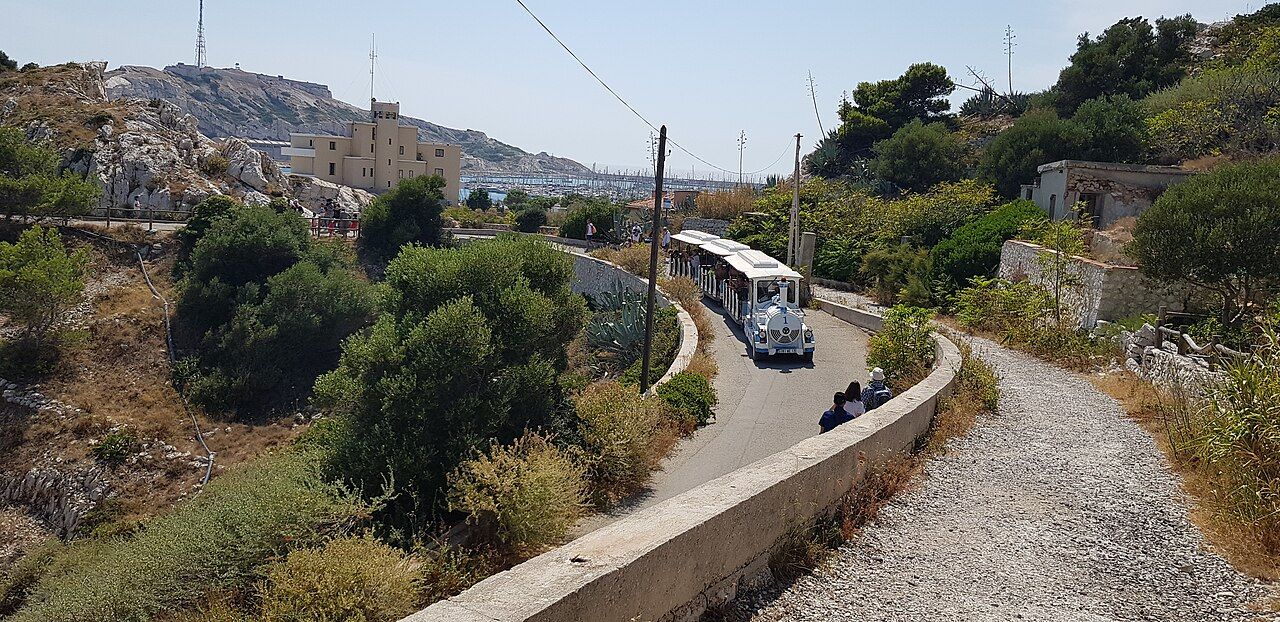
Old forts and gun batteries stand on the heights of Ratonneau, within an island landscape that stays stark rather than leafy. Stone, cliff and open sky do most of the work. The historical layer is there: the harbour was made for quarantine, and the island still has structures tied to defence and separation.
A walk towards the ruined quarantine hospital on Ratonneau brings those strands together. The hospital belongs to the island’s quarantine history; the forts and batteries mark its heights. I prefer to take these as part of the landscape rather than as separate stops. The bare rock keeps the view broad, and the old structures give the walk a human scale without softening the island’s exposed character.
5. Across to Pomègues
Pomègues shares the limestone ground and the old military remains, with forts and gun batteries on its heights. The islands have been part of the Calanques National Park since 2012, and the cliffs support rare plants adapted to salt spray and drought. There is little shade here, so the terrain feels direct: rock, height, cliff and sea. The plants are a reminder that this spare landscape is not empty.
The island walk works as a sequence of views rather than a race between landmarks. The heights give a different angle on the water; the cliffs make the coastline feel close and cut into. I keep the pace unhurried and leave room to stop.
6. The cliffs and their residents
Scopoli’s shearwaters and European storm petrels nest on the Frioul islands. Rare plants grow on the cliffs, adapted to salt spray and drought. These details give the bare limestone another reading. This is a place with particular conditions, and living things fitted to them.
The cliffs are not merely a frame for the sea, and the sparse vegetation is not an absence to be corrected. Shade is limited, the rock is pale, and the conditions are part of the islands. I like this modest sort of attention: noticing what can live here, without expecting the place to resemble a greener walk on the mainland.
 Photograph: Anfrx — CC-BY-SA-4.0
7. A cove at the edge of the walk
Small coves on Ratonneau, including the Calanque de Morgiret, are used for swimming. They offer a different scale from the heights and the sea wall: an inlet, close water and a pause in the walk. The coves sit within this dry, exposed setting, but turn attention from the cliffs to the shoreline.
A day can hold the harbour, a stretch of the wall, a walk on Ratonneau or Pomègues, and time by a cove. The Frioul’s place in the Calanques National Park is part of that larger coastal setting. The ground is open, and the views keep drawing attention out to sea.
8. Returning with the island in view
The boat to the Frioul is part of the public transport network of Aix-Marseille-Provence Métropole. The islands belong to the 7th arrondissement of Marseille, though their pale rock and open water make the city feel set apart. A harbour village on the old sea wall, two limestone islands and a handful of coves make a full day.
By the time the harbour and Digue de Berry come back into view, the islands read as linked places: the sheltered harbour, the heights, the cliffs and the small coves. The old wall still gives the day its central line. It joins Ratonneau and Pomègues, with both islands in sight.
I prefer the islands from the sea wall, where their shared history is easiest to read.
| Place | Detail |
|---|---|
| Archipelago | In the bay of Marseille, a few kilometres west of the Vieux-Port |
| Boat | Part of the public transport network of Aix-Marseille-Provence Métropole |
| Harbour village | Port Frioul, on the Digue de Berry |
| Arrondissement | 7th arrondissement of Marseille |