Entry035
Les Goudes and Callelongue: where the coast road ends
From the harbour at Les Goudes to Callelongue, follow the coast road as the city’s edge gives way to bare limestone and paths into the massif.
- Place
- Les Goudes
- Arrondissement
- 8th
- From the Quai des Belges
- about 15 km south, two buses
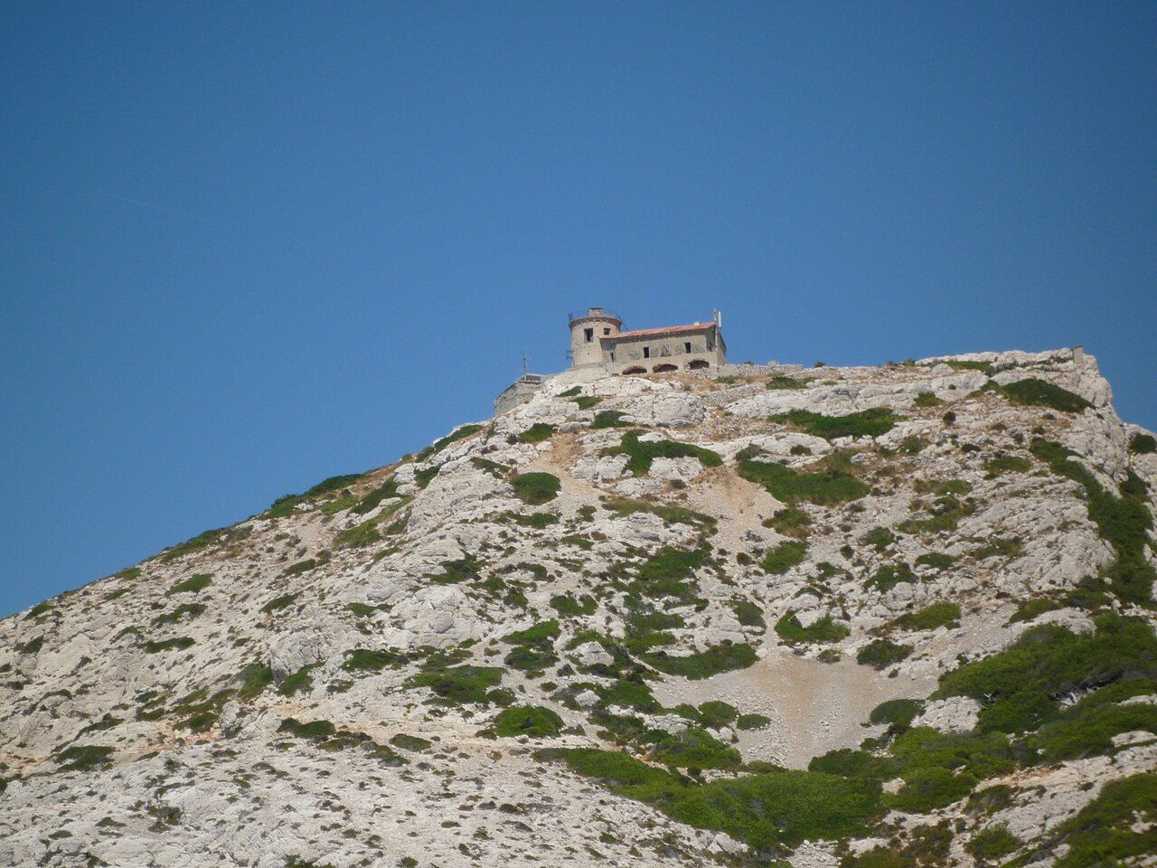 Photograph: ydecaseneuve — CC-BY-SA-3.0
“The coast road ends at Callelongue.”
1. Take the coast road south
Begin with line 19 from the Prado, travelling along the coast to Montredon. There, line 20 continues past Les Goudes to Callelongue. The sequence matters: this is not a loop of separate destinations, but a route that keeps following the shore until the road runs out. There is a clean change in the scenery as the built-up edge gives way to rock.
2. Pause at Les Goudes
Les Goudes is a former fishing village in Marseille’s 8th arrondissement. The small harbour is crowded with pointus and cabanons, a close-packed contrast to the bare white limestone slopes rising straight behind it. Take in both at once: harbour first, rock immediately above. It is a useful place to register the change in scale, from boats and buildings to the steep, open land beyond. The Île Maïre rises sharply off the tip of the coast nearby.
3. Look out from the tip
From Les Goudes, the Île Maïre stands steeply off the coast, with the small island of Tiboulen de Maïre just beyond it. Farther out to sea, the lighthouse of the Île du Planier can be seen. These are separate points in the view, not a single island chain to hurry past. Give the eye time to pick them out against the water. The scene is spare: bare slopes behind, islands offshore, and the harbour close at hand.
For a comparison along the city’s calanques, there is the biggest calanque on the city side.
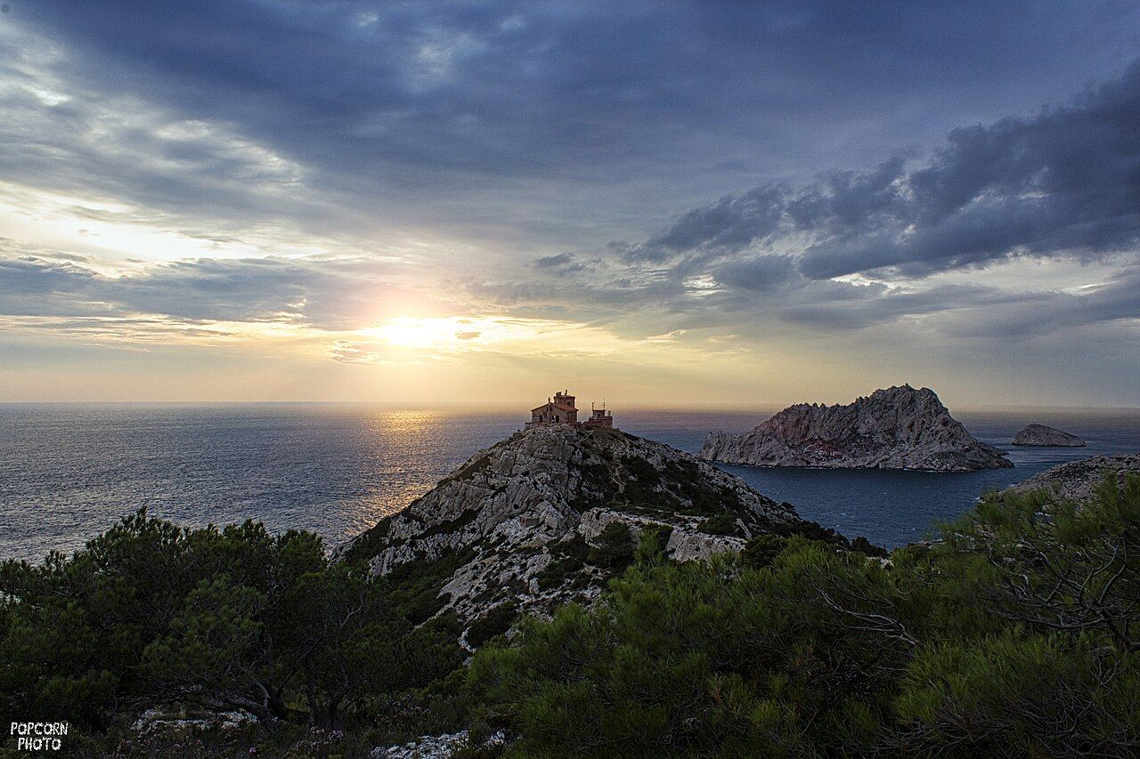 Photograph: Mathieu Dupouy — CC-BY-3.0
4. Continue to Callelongue
Stay on line 20 past Les Goudes to Callelongue, the narrow inlet beyond the village. This is where the coast road ends. The shift is not dramatic in the sense of a grand arrival; it is a practical one. The road has carried the route along the coast, and now the inlet and the rock take over. Bare white limestone rises straight behind Callelongue too, keeping the same close meeting of coast and slope.
5. Choose the path beyond the road
Callelongue is a starting point for paths into the Massif de Marseilleveyre. The long-distance trail along the calanques also sets out from here, heading towards Cassis. The road’s end is therefore a beginning for walking, rather than a dead end in the usual sense. Keep the distinction clear: the coast road finishes at the inlet; paths continue into the massif and along the calanques. The bare rock is not a backdrop to the route. It is the ground the route enters.
6. Take the return route in reverse
For the return, follow the same connections back: line 20 from Callelongue past Les Goudes to Montredon, then line 19 along the coast to the Prado. On the way out, the villages and limestone make the city edge feel visible. On the way back, the route gives that edge a shape: harbour, inlet, road, then the coast continuing towards Marseille. I prefer the outward journey for the first view of the rock, but the return makes the sequence easier to understand.
| Route | Connection |
|---|---|
| Prado to Montredon | Line 19 along the coast |
| Montredon to Callelongue | Line 20 past Les Goudes |