Entry054
Reading Marseille by metro, tram and boat
A field-note reading of the network: rubber-tyred metro lines, trams, a sea-following bus and seasonal harbour shuttles, and what their routes show on the city map.
- Place
- Marseille
- From the Quai des Belges
- Vieux-Port station on line 1
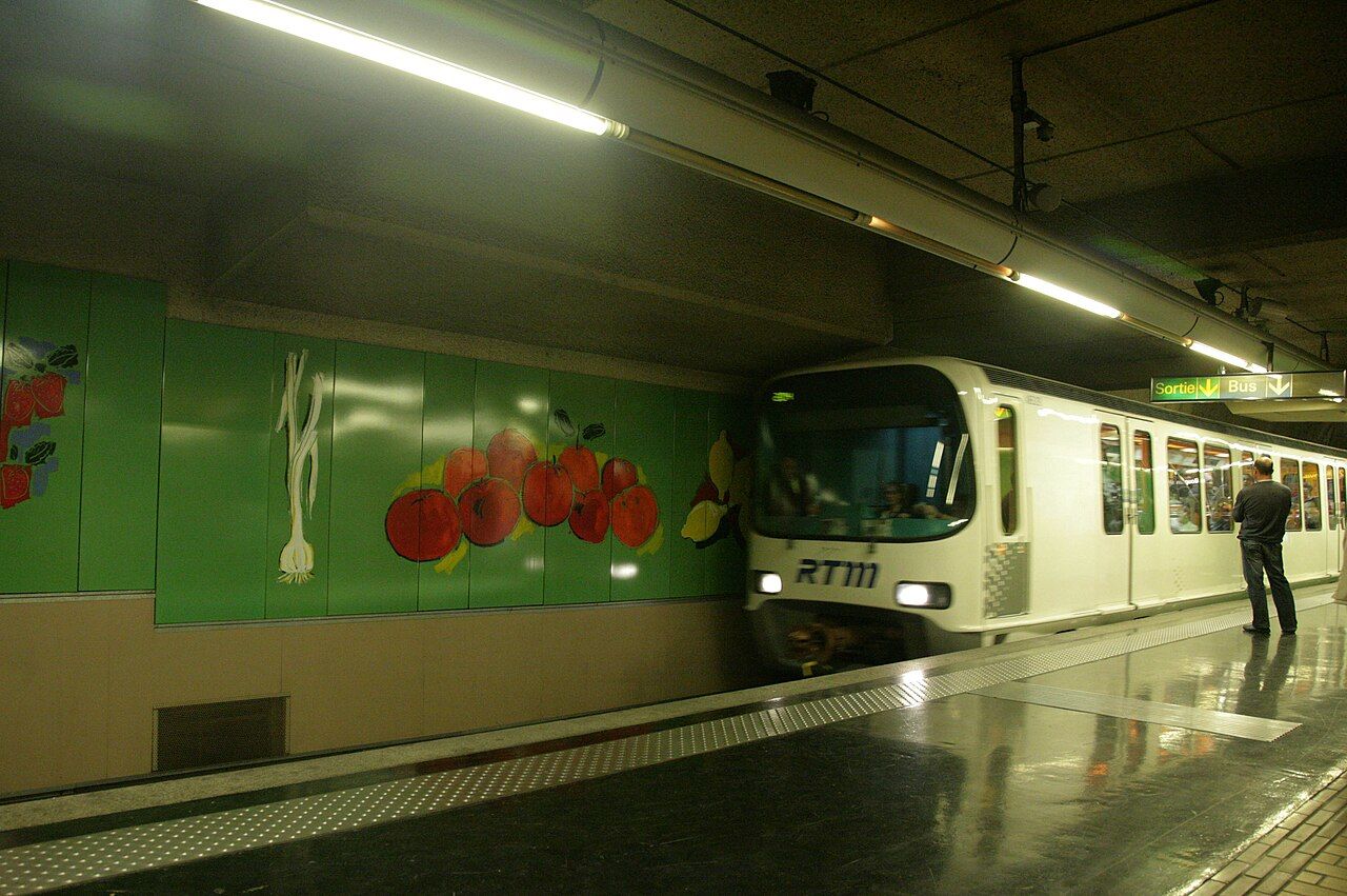 Photograph: emmanuel dautant — CC-BY-SA-2.0
1. What does the network show?
Marseille’s public transport is a way to read the city by crossings, edges and direction. The metro gives the map two lines to follow; the trams add another layer; buses and harbour boats extend the picture towards the sea. The modes do not all do the same job, and the useful detail is often the join between them. I like a map that shows where lines meet as clearly as where they end. It makes the city read as a set of routes laid over one another, rather than as a collection of separate destinations.
2. Two lines, two crossings
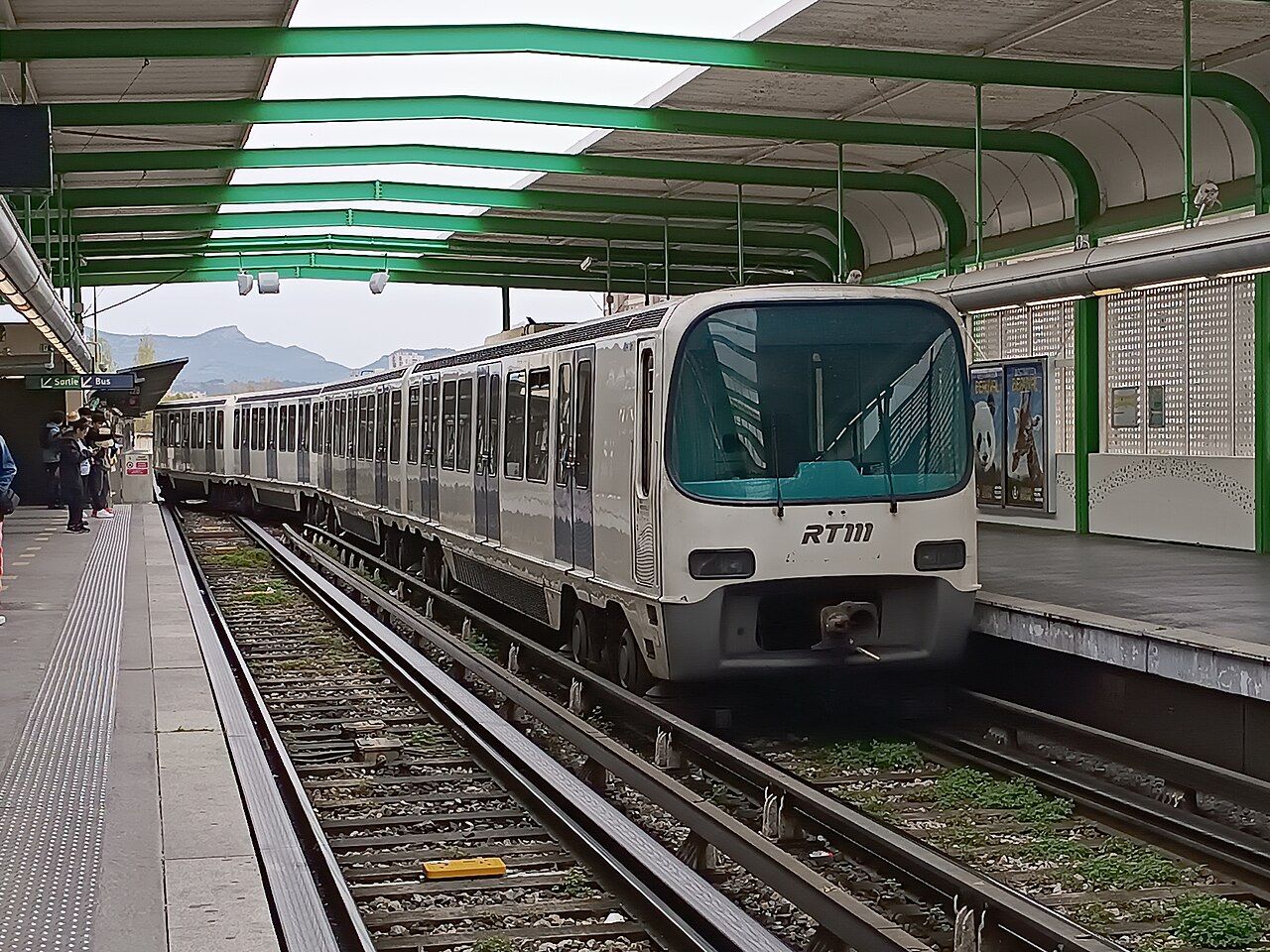
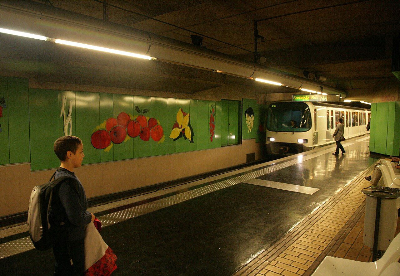
The first fixed point is the metro. Line 1 opened in 1977, and line 2 opened in 1984. The trains run on rubber tyres, a small but distinctive fact to keep beside the line colours on a map. The two lines cross at Saint-Charles and at Castellane. Those crossings are useful anchors: rather than holding the whole network in mind, the map can be read from one meeting point to the next. The network is easiest to read as a set of crossings and edges, not as a single route.
The network is easiest to read as a set of crossings and edges, not as a single route.
3. Follow the southward line
Line 2 runs south to the Rond-Point du Prado and Sainte-Marguerite. That gives the line a clear direction on the page, and places those two names at the end of a journey through the metro network. Saint-Charles and Castellane remain its crossings with line 1; the southern destinations mark its reach. I tend to read the route in those pieces: where it meets another line, then where it continues.
 Photograph: Kyah117 — CC-BY-4.0
4. The tram layer
The modern tram network opened in 2007. Tram line T3 opened in 2015. These dates give the tram map its own layer alongside the metro, without needing to treat the modes as interchangeable. The old tram line 68 belongs to a longer history: it ran partly in a tunnel from Noailles and kept running until 2004, long after Marseille’s other old tram lines had gone. It is a striking contrast in the dates alone. One line persisted as the rest of the old network disappeared; the modern network came later.
5. One network, several modes
Metro, trams, buses and the harbour boats are run by the Régie des transports métropolitains, the RTM. A single organisation sits behind modes that make the map feel quite different: lines crossing beneath the city, a tram network, buses following roads and boats on the harbour. One ticket of the city network covers the metro, the trams and the buses. That is a practical point worth separating from the wider map. The boats are part of the transport picture too, but the ticket fact names the metro, trams and buses.
6. The sea as a route
Bus line 83 follows the sea from the Vieux-Port along the Corniche. On a map, that route makes the coastline part of the public transport network rather than only its edge. The harbour boats offer another way to read the water. Seasonal sea shuttles have linked the Vieux-Port with Pointe-Rouge and L’Estaque. The wording matters: these are seasonal links, not a claim that every boat route belongs to the everyday map. For a crossing in the harbour, the oldest boat line in the harbour gives the water a place in the network’s story.
 Photograph: emmanuel dautant — CC-BY-SA-2.0
7. A map made of connections
Put the pieces together and the map has several ways to orient itself. The metro crossings at Saint-Charles and Castellane offer points where lines meet. Line 2 points south to the Rond-Point du Prado and Sainte-Marguerite. Bus line 83 traces the sea from the Vieux-Port along the Corniche; seasonal shuttles have connected the Vieux-Port with Pointe-Rouge and L’Estaque. None of these details needs to stand alone. The pleasure is in seeing a route change character: from an intersection, to a southward line, to the edge of the water.
8. Keep the layers distinct
For practical reading, I keep the ticket information and the route information in separate columns in my head. One city-network ticket covers the metro, trams and buses. The harbour boats are run by the RTM, and the seasonal shuttles have linked named points around the harbour. The tram dates and the metro dates explain how the map acquired its layers; the route descriptions explain how to read them. It is a modest distinction, but a helpful one. Marseille’s transport map makes most sense when the crossings, direction and coastline are all allowed to show.
| Mode or route | Map detail |
|---|---|
| Metro | Lines 1 and 2 cross at Saint-Charles and Castellane. Line 2 runs south to the Rond-Point du Prado and Sainte-Marguerite. |
| Trams | The modern network opened in 2007; line T3 opened in 2015. |
| Bus | Line 83 follows the sea from the Vieux-Port along the Corniche. |
| Harbour boats | Seasonal sea shuttles have linked the Vieux-Port with Pointe-Rouge and L’Estaque. |
| City-network ticket | Covers the metro, trams and buses. |